|

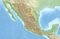
Los Remedios National Park is located in the far west of the municipality of Naucalpan in Mexico State just northwest of Mexico City. This park was established by decrees in 1938 by the federal government with an area of 400 hectares (990 acres). Within its borders is the Sanctuary of the Virgin of Los Remedios, a colonial era aqueduct and a pre-Hispanic archeological zone with a Chichimeca temple. All of these are located in and around the mountain called Cerro Moctezuma. The site was an Aztec observatory and is also believed to be where Hernán Cortés and his men rested after fleeing Tenochtitlan.[3]


 Please share your ideas with us.