Wikiplacemarks.com  


Find us on Google+

Lesueur National Park

View on map:30.134440°S 115.100560°E

Lesueur


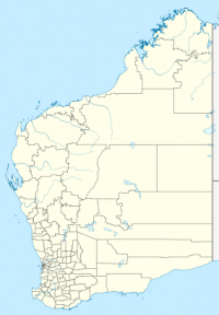
Map showing the location of Lesueur National Park

Lesueur National Park is a national park straddling the boundary between the Wheatbelt and Mid West regions of Western Australia (Australia), 211 km north of Perth. The park was gazetted in 1992. It includes a mesa known as Mount Lesueur, and supports a highly diverse flora.

References

All text is available under the terms of the Creative Commons Attribution-ShareAlike License
Average user rating: Not rated

Click on a star to rate
 

Do you have a form that you would like to turn into an application?

Please share your ideas with us.

Contact us...