|

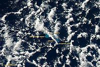
The 2012 Kermadec Islands eruption was a major undersea volcanic eruption that was produced by the previously little-known Havre Seamount near the L'Esperance and L'Havre Rocks in the Kermadec Islands of New Zealand.[2][3] The large volume of low density pumice produced by the eruption accumulated as a large area of floating pumice, a pumice raft, that was variously estimated to be between 7,500 and 10,000 square miles (19,000 and 26,000 km2) in surface area.[4][5]


 Please share your ideas with us.