Wikiplacemarks.com  


Find us on Google+

Rafting on the Colorado River

View on map:38.760295°N 109.325675°W

Comments


Rafting on the Colorado River
38.760195°N 109.325686°W

Rafting on the Colorado River
38.760203°N 109.325611°W

Rafting on the Colorado River
38.693281°N 109.415803°W

Rafting on the Colorado River
38.690116°N 109.416811°W

Rafting on the Colorado River
38.689463°N 109.417562°W

Rafting on the Colorado River
38.685225°N 109.426317°W

Rafting on the Colorado River
38.682528°N 109.435265°W

Rafting on the Colorado River
38.680351°N 109.444406°W
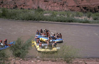
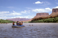
There are numerous types of trips down the Colorado River ranging from half day trips to those that last for weeks.  You can also choose from a variety of difficulty levels including those for young children all the way to those that go through serious rapids.  

Description


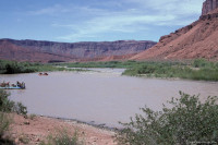
View of a rocky canyon with a muddy river curving around a large bluff

The Colorado River is the principal river of the southwestern United States and northwest Mexico. The 1,450-mile (2,330 km) river drains an expansive, arid watershed that encompasses parts of seven U.S. and two Mexican states. Rising in the central Rocky Mountains in the U.S., the river flows generally southwest across the Colorado Plateau before reaching Lake Mead on the ArizonaNevada line, where it turns south towards the international border. After entering Mexico, the Colorado forms a large delta, emptying into the Gulf of California between Baja California and Sonora.

References

All text is available under the terms of the Creative Commons Attribution-ShareAlike License
Average user rating: Not rated

Click on a star to rate
 

Do you have a form that you would like to turn into an application?

Please share your ideas with us.

Contact us...