|

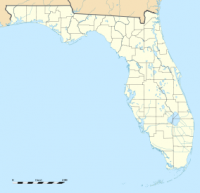
Manatee Springs State Park is a Florida State Park located six miles west of Chiefland on SR 320, off US 19. Manatee Spring is a first magnitude spring that flows directly into the Suwannee River by way of a short run (though it is the longest spring run feeding the Suwannee River). Present also are swamps and hardwood wetlands along the Suwannee, along with many sinkhole ponds, including one with a cave 90 feet below the ground that connects to a popular divers' destination known as the catfish hotel.


 Please share your ideas with us.