|

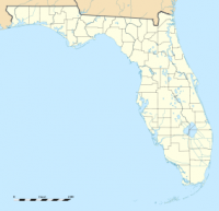
Rainbow Springs State Park is a Florida State Park located on U.S. 41, three miles (5 km) north of Dunnellon, Florida. It comprises 1,459.07 acres (5.9046 km) upland (which includes around 100 acres (0.40 km2) of wetlands) and 12.83 acres (51,900 m2) submerged. The most significant natural feature is the first magnitude headspring basin which produces up to 600,000,000 US gallons (2,300,000 m3) of fresh water per day, forming The Rainbow River. The looking glass waters of Rainbow Springs come from several vents, not one large bubbling spring. The river itself supports a wide variety of fish, wildlife, and plants, many within easy viewing by visitors. In total, the park contains 11 distinct natural communities, including sandhills, flatwoods, upland mixed forests, and hydric hammocks.


 Please share your ideas with us.