|

Mountain man and trapper Jedediah Smith who visited the Zion area in 1825.
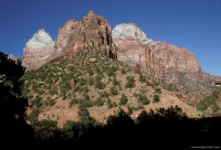

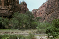


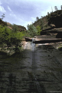
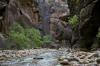
Zion was established as a national park on November 19, 1919 and encompasses 146,597 acres (59,326 ha). The Colorado Plateau, Great Basin, and Mojave Desert all come together within Zion National Park.
One of the most spectacular and popular places in the park is Zion Canyon where water has eroded a 15 mile valley more than 2,500 ft (800 m) deep. At the northern most part of the canyon is the Temple of Sinawava, a relatively lush respite from the daunting desert heat. Trails lead to The Narrows further up the valley where the canyon becomes a gorge with 2,000 ft (610 m) rock walls that border the North Fork Virgin River. A climb up Angel’s Landing provides one of the most beautiful views of Zion Canyon (the climb is not for the faint of heart).
People have lived in the Zion area for more than 8,000 years. Early inhabitants included members of the Anasazi culture who disappeared in the region about 1,300 AD probably due to the droughts and floods throughout the area around this time. Archaeologists believe that genetic cousins of the Anasazi, such as the Southern Paiute and Ute, resettled the region during modern times.
On October 13, 1776, a Spanish exploration party led by Padres Silvestre Vélez de Escalante and Francisco Atanasio Domínguez became the first Europeans to view the Zion region. They were leading an expedition to find a route from Santa Fe, NM to Spanish missions in California. Famous mountain man and trapper Jedediah Smith passed through the area in 1825.
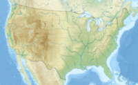
Zion National Park is located in the Southwestern United States, near Springdale, Utah. A prominent feature of the 229-square-mile (590 km) park is Zion Canyon, which is 15 miles (24 km) long and up to half a mile (800 m) deep, cut through the reddish and tan-colored Navajo Sandstone by the North Fork of the Virgin River. The lowest elevation is 3,666 ft (1,117 m) at Coalpits Wash and the highest elevation is 8,726 ft (2,660 m) at Horse Ranch Mountain. Located at the junction of the Colorado Plateau, Great Basin, and Mojave Desert regions, the park's unique geography and variety of life zones allow for unusual plant and animal diversity. Numerous plant species as well as 289 species of birds, 75 mammals (including 19 species of bat), and 32 reptiles inhabit the park's four life zones: desert, riparian, woodland, and coniferous forest. Zion National Park includes mountains, canyons, buttes, mesas, monoliths, rivers, slot canyons, and natural arches.


 Please share your ideas with us.