|


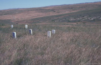
The marker that has a black plaque on it marks the place where Custer died.

View of the Little Big Horn River.


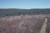
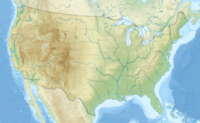
Little Bighorn Battlefield National Monument preserves the site of the June 25 and 26, 1876, Battle of the Little Bighorn, near Crow Agency, Montana, in the United States. It also serves as a memorial to those who fought in the battle: George Armstrong Custer's 7th Cavalry and a combined Lakota-Northern Cheyenne and Arapaho force. Custer National Cemetery, on the battlefield, is part of the national monument. The site of a related military action led by Marcus Reno and Frederick Benteen is also part of the national monument, but is about three miles (5 km) southeast of the Little Bighorn battlefield.


 Please share your ideas with us.