|

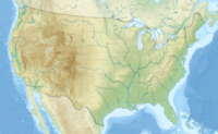
Shenandoah National Park encompasses part of the Blue Ridge Mountains in the U.S. state of Virginia. This national park is long and narrow, with the broad Shenandoah River and Valley on the west side, and the rolling hills of the Virginia Piedmont on the east. Although the scenic Skyline Drive is likely the most prominent feature of the Park, almost 40% of the land area 79,579 acres (322.04 km) has been designated as wilderness and is protected as part of the National Wilderness Preservation System. The highest peak is Hawksbill Mountain at 4,051 feet (1,235 m).


 Please share your ideas with us.