|

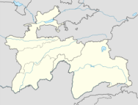
The 1911 Sarez earthquake occurred at 18:41 UTC on 18 February (23:31 local time) in the central Pamir Mountains in the Rushon District of eastern Tajikistan. It had an estimated magnitude of 7.4 on the surface wave magnitude scale and a maximum felt intensity of about IX (violent) on the Mercalli intensity scale. It triggered a massive landslide, blocking the Murghab River and forming the Usoi Dam, the tallest dam in the world, creating Sarez Lake. The earthquake and related landslides destroyed many buildings and killed about 90 people.


 Please share your ideas with us.