|

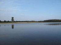
De Maasduinen National Park is a national park in the Dutch province of Limburg, founded in 1996 and covering approximately 4500 ha. The landscape consists of forests and heathlands on a sandy plateau along the river Meuse close to the German border. The estate 'de Hamert' is the heart of the park. Until 1998 the national park was called 'De Hamert' after this estate. The present name is derived from the parabolic dunes which date from the last glaciation.


