|

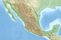
The Cumbres de Majalca National Park is located 88 km northwest of the city of Chihuahua in the state of Chihuahua, Mexico. The park showcases extraordinary rock formations that have been shaped by wind and water erosion. The park was created by presidential decree in 1939 encompassing 4,772 hectares to protect the endemic flora and fauna. The park is characterized by pine and oak forest. The park is one of the few areas in Mexico that are inhabited by black bear.


