|

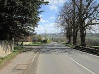
There are currently no visible remains of Turret 28A. It was first described in 1727 by Alexander Gordon in Iter Septentrionale, stating that it was
| “ | a little exploratory turret of hewn free-stone, a little more than 12 ft. in length, something less in breadth, and about five courses of stone in height. | ” |
It was relocated in 1920 about 300 yards (270 m) west of Walwick Hall.[4]
Location on Ordnance Survey 1:25 000 map: 55.031035°N 2.160512°W


