|

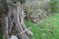
Turret 54B (Howgill) (grid reference NY54076439) was also excavated in 1933.[4] The excavations uncovered four courses of red sandstone masonry.[4] There are no surface remains visible.[4]
A small inscribed centurial stone can be seen 190 metres southwest of the site of Turret 54B. It was found in or before 1717, and is built into the external wall of the east range of buildings at Howgill Farm. It records the work done by the Catuvellauni in rebuilding this section of Hadrian's Wall in AD 369.[5]


