|

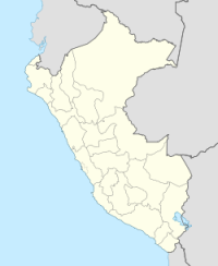
The 1970 Peru-Ecuador earthquake occurred on December 9, 1970 at 23:34 local time (December 10, 1970 at 04:34 UTC). The epicenter was located in northwestern Peru, between Piura and Tumbes, near the Peru-Ecuador border. This earthquake had a magnitude of Mw 7.1, or Ms 7.1. About 81 people were reported dead in Peru and in Ecuador together.[3][4] Liquefaction was observed. The maximal intensity reached MM IX.[5][6] Fractures in constructions were reported in the urban area of Talara.[7] This was a shallow earthquake, and it was thought to occur in the plate above the plate boundary.[8]


