|

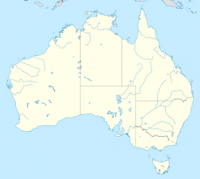
Uluṟu-Kata Tjuṯa National Park is the location of a world-renowned sandstone monolith, which stands 348 metres in height and bears various inscriptions made by ancestral indigenous peoples, located in Northern Territory of Australia. It is located 1431 kilometres south of Darwin by road and 440 kilometres south-west of Alice Springs along the Stuart and Lasseter Highways. The park covers 1326 square kilometers and includes the features it is named after - Uluru / Ayers Rock and, 40 kilometres to its west, Kata Tjuta / Mount Olga and is serviced by flights from most Australian capital cities. The location is listed with UNESCO World Heritage cites.


Proszę podzielić się swoimi pomysłami z nami.
Skontaktuj się z nami...