|

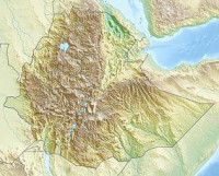
Yangudi Rassa National Park is one of the National Parks of Ethiopia. Located in the Afar Region, its 4730 square kilometers of territory include Mount Yangudi near the southern border and the surrounding Rassa Plains, with altitudes from 400 to 1459 meters above sea level. Sandy semi-desert and wooded grassland cover the majority of the park's area. This Park lies between the territory of the Afars and the Issas, and while violence have been frequent between them, most of the park happens to be in an area where they avoid each other. As a result, most of the active protection of the Park is focused on managing their conflict.[2]


 Please share your ideas with us.