|

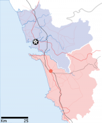
Bhagwan Mahaveer Sanctuary and Mollem National Park is a 240 square kilometres (93 sq mi) protected area located in the Western Ghats of South India, in Sanguem taluk, Goa along the eastern border with Karnataka. The area is situated near the town of Molem, 57 kilometres (35 mi) east of Panaji, the state capital of Goa. National Highway 4A divides it into two parts and the Mormugao - Londa railway line passes through the area. It is located between 15°15"30' to 15°29"30' N and 74°10"15' to 74°20"15' E. It contains several important temples dating to the Kadamba Dynasty, and Dudhsagar Falls. The parkland is also home to a community of nomadic buffalo herders known as the Dhangar.


 Please share your ideas with us.