|

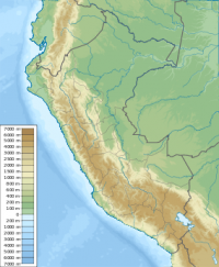
The Amotape Hills National Park (Spanish: Parque Nacional Cerros de Amotape) is located around the Amotape District, in the northern section of the Piura Region and the extreme southern section of the Tumbes Region in Peru. It is the best well kept example of equatorial dry forests in the whole Pacific region. Once before these forests covered the whole of Tumbes, Piura and Lambayeque in Peru, and the El Oro and the Guayas coastal provinces in Ecuador.


 Please share your ideas with us.