|

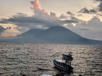
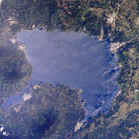
The volcano on the left is Volcán Atitlán and the one on the right is Volcán Tolimán.

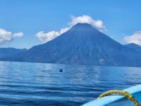
The volcano is Volcán San Pedro.

Lake Atitlán (Lago de Atitlán) is a large endorheic lake (one that does not flow to the sea) in the Guatemalan Highlands. Atitlan is recognized to be the deepest lake in Central America with maximum depth about 340 meters. The lake is shaped by deep escarpments which surround it and by three volcanoes on its southern flank. Lake Atitlan is further characterized by towns and villages of the Maya people. Lake Atitlán is about 50 kilometres (31 mi) west-northwest of Antigua. Lake Atitlán should not be confused with Lake Amatitlán. Lake Amatitlán is located about 65 kilometres (40 mi) southeast of Lake Atitlán and 16 kilometres (10 mi) southeast of Antigua. Lake Atitlán is much larger than Lake Amatitlán.


 Please share your ideas with us.