|

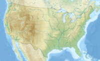
The Missouri Breaks is located in central Montana, U.S. and is managed by the U.S. Bureau of Land Management (BLM) under the full title of Upper Missouri River Breaks National Monument. Called "The Breaks" by locals, it is a series of badland areas characterized by rock outcroppings, steep bluffs and grassy plains. Created on January 17, 2001, it encompasses 495,502 acres (200,523 ha), most of which were already managed by the U.S. Government. The adjacent Missouri River was designated a Wild and Scenic River in 1976 and forms a western boundary while the Charles M. Russell National Wildlife Refuge is to the east. The Breaks country was a model for many of the paintings done by painter Charles M. Russell.


 Please share your ideas with us.