|

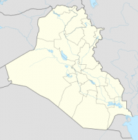
Tell Bazmusian is an archaeological site on the right bank of the Little Zab in the Ranya Plain (Sulaymaniyah Governorate, Iraq). The site was excavated between 1956 and 1958 by Iraqi archaeologists as part of a salvage operation to document cultural remains that would be flooded by Lake Dukan, the reservoir created by the Dukan Dam which was being built at that time. Apart from Tell Bazmusian, four other sites were excavated during this operation: ed-Dem, Kamarian, Qarashina and Tell Shemshara. Bazmusian is a tell, or settlement mound, with a circumference of 1,500 metres (4,900 ft) and a height of 23 metres (75 ft). Together with Tell Shemshara, it is one of the largest archaeological sites in the Ranya Plain. When the excavations started, the southeast flank of the mound was occupied by a village that was only established at the beginning of the 20th century. The site is now submerged under Lake Dukan.


 Please share your ideas with us.