Wikiplacemarks.com  


Find us on Google+

Katahdin Woods and Waters National Monument

View on map:45.970362°N 68.619336°W

Description


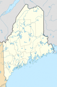
Map showing the location of Katahdin Woods and Waters National Monument

Katahdin Woods and Waters National Monument is a U.S. National Monument spanning 87,563 acres (35,435 ha) of mountains and forestland in northern Penobscot County,Maine, including a section of the East Branch Penobscot River. The monument is located on the eastern border of Maine's Baxter State Park, in Penobscot County.[2]

References

All text is available under the terms of the Creative Commons Attribution-ShareAlike License
Average user rating: Not rated

Click on a star to rate
 

Do you have a form that you would like to turn into an application?

Please share your ideas with us.

Contact us...