|

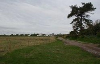
Milefortlet 9 (Skinburness) was a Milefortlet of the Roman Cumbrian Coast defences. These milefortlets and intervening stone watchtowers extended from the western end of Hadrian's Wall, along the Cumbrian coast and were linked by a wooden palisade. They were contemporary with defensive structures on Hadrian's Wall. There is little to see on the ground but Milefortlet 9 has been located on aerial photographs.


 Please share your ideas with us.