|

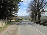
Turret 28B is located the normal distance between Turret 28A and Milecastle 29. The site (identified by English heritage Field Investigation in 1965) is marked by slight traces of protruding stonework. The stones were barely discernible, but appeared to outline a structure measuring approximately 4.0 metres (13.1 ft) North-South, and 5.0 metres (16.4 ft) East-West.[5]
Location on Ordnance Survey 1:25 000 map: 55.032660°N 2.167699°W


 Please share your ideas with us.