|

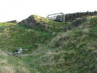
Located in 1920,[4] nothing now remains of Turret 33A, due to extensive stone robbing. Its position was stated by Eric Birley in 1961 as "150 yds. east of the twenty-seventh milestone at the bridge crossing the Coesike".[5]
Location on Ordnance Survey 1:25 000 map: 55.030132°N 2.273380°W


 Please share your ideas with us.