|

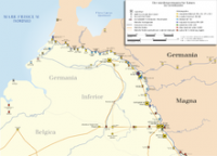
Varnenum is a Gallo-Roman archaeological site near Kornelimünster . It is located about 300 meters east of St. Stephen's Church on a plateau called "Schildchen". It is a former Roman temple district whose founding and first building period is set in the time of the birth of Christ. [1] [2] At the site were in 1911, 1923 and 1924, the first documented in 1907, excavations carried out. Another excavation carried out in 1986 and 1987 was magnetometer prospecting of the RABThis was preceded by a phosphate analysis soil survey, the drill grid area of which covered approx. 250,000 m² and thus extended very far around the old excavation area. [3]


 Please share your ideas with us.