|

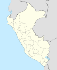
The November 1960 Peru earthquake occurred offshore northern Peru on November 20, 1960 at 17:02 local time (22:02 UTC). The magnitude of the earthquake was put at Ms 6.75 by using the conventional magnitude measurement within a shorter duration of ~20 s.[2] However, there is a large discrepancy between the magnitudes in Ms and Mw in this earthquake. The discrepancy was resulted from that the earthquake had a long source duration of about 130 s, and by calculating the seismic moment, the magnitude would be Mw 7.6 or Mw 7.8, according to different sources.[2][3] This earthquake belongs to a category of earthquakes with slow rupture velocities and potential of producing tsunamis larger than those expected from the moment magnitudes.[4]


 Please share your ideas with us.