|

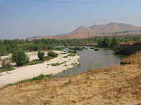
The Santa Ana River is the largest river of Southern California in the United States. Its drainage basin spans four counties. It rises in the San Bernardino Mountains and flows past the cities of San Bernardino and Riverside, before cutting through the northern tip of the Santa Ana Mountains and flowing southwest past Santa Ana to spill into the Pacific Ocean. The Santa Ana River is 96 miles (154 km) long,[3] and drains a watershed of 2,650 square miles (6,900 km2).


 Please share your ideas with us.