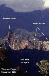
|

Llaqtapata (Quechua) llaqta place (village, town, city, country, nation), pata elevated place / above, at the top / edge, bank (of a river), shore,[2][3][4] pronounced 'yakta-pahta',[5] hispanicized Llactapata) is an archaeological site about 5 km (3.1 mi) west of Machu Picchu. The complex is located in the Cusco Region, La Convención Province, Santa Teresa District, high on a ridge between the Ahobamba and Santa Teresa drainages.[6]


क्या आप के पास ऐसा प्रपत्र है जिसे आप एक अनुप्रयोग के रूप मैं बदलना चाहतें है?

कृपया हमारे साथ अपने विचारों को साझा करें.
संपर्क करें...