Wikiplacemarks.com  


Find us on Google+

Milecastle 21 Turret 21A

View on map:55.010895°N 2.003081°W

Description


Milecastle 21

Turret 21A[edit]

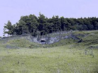
Turret 21A (Red House) is probably located 73 metres (80 yd) to the east of the east wall of Onnum, though some doubt has been expressed by an English Heritage field investigation.[2] Its remains lie under the modern road.[3]

Location on Ordnance Survey 1:25 000 map: 55.010895°N 2.003081°W

References

All text is available under the terms of the Creative Commons Attribution-ShareAlike License
Average user rating: Not rated

Click on a star to rate
 
您有一個表格您想把它變成應用程序嗎?
請與我們分享您的意見。