|

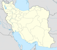
The 1978 Tabas earthquake was an earthquake measuring 7.8 on the Richter scale which struck on September 16, 1978 in central Iran. The death toll was approximately 15,000 and the worst damage was to the town Tabas, which was at the epicentre of the quake and completely flattened. 40 villages within a 30 miles (48 km) radius were damaged. All the town's doctors were reported to have died, leaving civilians to treat others. All water and electricity was cut from Tabas, along with phone lines. The nearest accessible place to gain water was the town of Ferdows, a three hour drive away.


