|

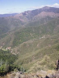
Mont Aigoual (Occitan: Mont Augal, elevation 1567m / 5141 ft) is the highest point of the Gard department, France. It is part of the Massif Central, and it is located within the Cévennes National Park. Its southern slopes are the source of the river Hérault flowing into the Mediterranean.


 Veuillez partager vos idées avec nous.