|

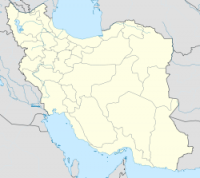
The 856 Damghan Earthquake or the 856 Qumis earthquake occurred on 22 December, 856 AD. The earthquake had an estimated magnitude of 7.9, and a maximum intensity of X (intense) on the Mercalli intensity scale. The meizoseismal area (area of maximum damage) extended for about 350 kilometres (220 mi) along the southern edge of the eastern Alborz mountains of present-day Iran including parts of Tabaristan and Gorgan. The earthquake's epicenter is estimated to be close to the city of Damghan, which was then the capital of the Persian province of Qumis. It caused approximately 200,000 deaths and is listed by the USGS as the sixth deadliest earthquake in recorded history.


