|

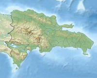
The 1946 Dominican Republic earthquake occurred on August 4, 1946 at 17:51 UTC near Samaná, Dominican Republic. The mainshock measured 8.1 on the surface wave magnitude scale and an aftershock occurred four days later on August 8 at 13.28 UTC with a magnitude of 7.6. A tsunami was generated by the initial earthquake and caused widespread devastation across Hispaniola. The tsunami was observed in much of the Caribbean and the southern Atlantic ocean.


Bitte teilen Sie Ihre Ideen uns mit.
Kontaktieren Sie uns...